


Directions:
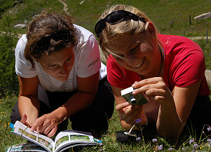
The Smaragdweg (Emerald Trail) branches off from the main path just after the National Park Information Center at the Habachtal parking lot and follows the sparkling Habach stream. At the “Green Meadow” (Grüner Boden), you’ll find information about the Habachtal’s most important minerals and the legendary Venedigermandln (Venetian dwarfs). After crossing the Habach Bridge, the trail winds through an area with an extraordinary number of springs. A little further along, a wooden footbridge leads to a large rock in the middle of the mountain stream, where the roaring wildness of the water can be felt up close. Shortly thereafter, a mythical figure recounts the legend of the Fazenwand.
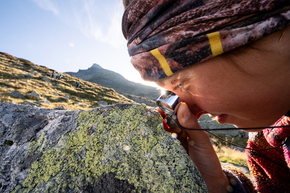
A children’s playground and climbing opportunities are located near the Gasthof Enzian. The highlight of the Emerald Trail is the landslide area near the Almgasthof Alpenrose, where adventurers can hunt for the “green fire” of emeralds.
The hiking trail is a perfect complement to the National Park exhibition “Emeralds & Crystals” at the Bramberg Museum. Along the path, eleven stations invite exploration of local minerals, the legend of the Fazenwand, and the quest for the “green fire.”
The trail also provides an engaging depiction of the geology of the Hohe Tauern and the Habachtal, showcasing the area’s significant rock formations.
A Tälertaxi (Emerald Express) service is available to bring hikers back to the starting point.
Starting Point:
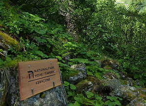
Habachtal parking lot in the municipality of Bramberg
Dining Options:
- Gasthof Enzianhütte
- Almgasthof Alpenrose
- Moa Alm


